
| Model | BD400D |
| Center frequency | 400kHz~700kHz,10kHz Continuously adjustable |
| Bandwidth | ±40kHz,0kHz~80kHz Continuously adjustable |
| Pulse | CW and CHIRP(Continuous Wave and Frequency – Modulated Wave) |
| Detection range (slant range) | 0.5m~200m |
| Sweep width | Typical 150°(maximum 180°) |
| Angle resolution | 1°x1°@400khz
0.5°x0.5°@700kHz |
| Range resolution | ≤1cm |
| beam number | 256/512 |
| Refresh Rate | ≥50Hz@2m measuring range |
| Pressure resistant range | 100m(Aluminum Alloy)/6000m(Titanium Alloy) |
| Material | Aluminum Alloy/Titanium Alloy |
| Working speed | 10 knots (the recommended speed is 6 knots) |
| Input Voltage | 24VDC~28VDC,220VAC power adapter |
| Power consumption | Average Power Consumption ≤60W
Maximum Power Consumption ≤80W |
| Communication Interface | 100Mbps Ethernet, synchronous interface (standard RS-232 synchronous signal). |
| Data Format | XTF format or proprietary format. |
| Watertight Connector | 10-core watertight connecting cable (for Ethernet, Data signals and power supply). |
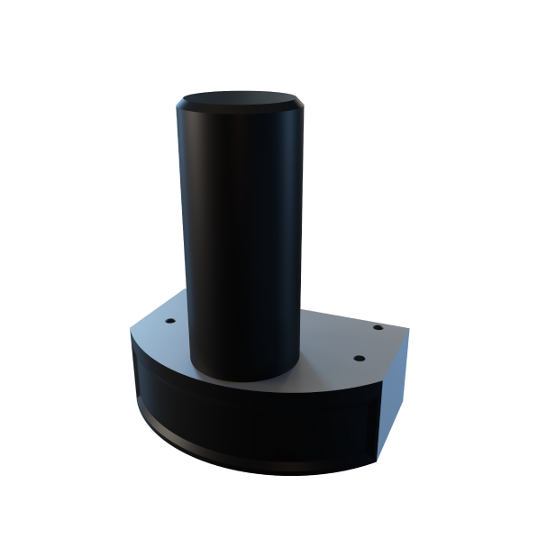
| Size | L240mm×W185mm×H305mm(Aluminum Alloy)
L240mm×W185mm×H316mm(Titanium Alloy) |
| Weight | ≤7.2kg(air)/5kg(water)(Aluminum Alloy)
≤10.9kg(air)/7kg(water)(Titanium Alloy) |
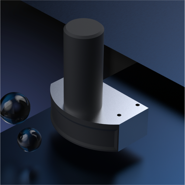
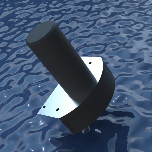
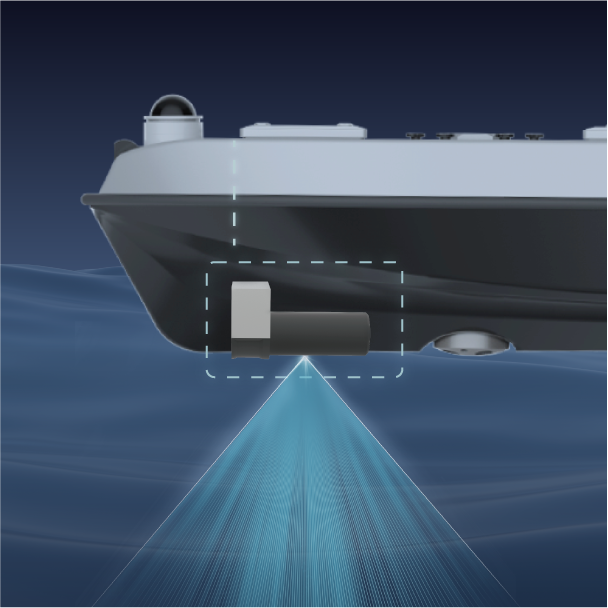
The BD400D has a detection ability ranging from 0.5 meters to 200 meters, with a distance resolution of no more than 1 centimeter. Its typical scanning angle is 150°, and it can reach a maximum of 180°. With a variable transmission frequency and a broadband noise reduction algorithm, it can provide customers with the most effective and reliable data. It is small in size, light in weight and highly integrated, making it especially suitable for being installed on surface and underwater platforms with limited space.
The BD400D can generate target images and videos in real time, including 3D point cloud maps, waterfall intensity maps and bathymetric maps. It is applicable to underwater survey operations such as nautical charting, water rescue, underwater salvage, marine monitoring, waterway inspection, river monitoring, marine scientific research and marine mining.
Submit Request
PDF Request
Simply fill out the form below and the catalog will be available for download!